L’ingénierie de la donnée au
service de la Planète
et des Territoires
Depuis 26 ans, nous proposons des solutions à forte valeur ajoutée et maîtrisons toutes les technologies d’imagerie et technologies informatiques, de la donnée image aux systèmes logiciels complexes.
Nous sommes présents dans de nombreux projets français, européens et internationaux. Retrouvez sur sa page dédiée une liste non-exhaustive des projets dans lesquels nous avons participé ou participons actuellement.
Nous sommes à la recherche de nos futurs collègues dans de nombreux domaines ! Explorez nos multiples offres d’emploi et commencez un nouveau chapitre dans votre carrière chez Magellium Artal Group.
Nos expertises de pointe s’appliquent à de nombreux domaines
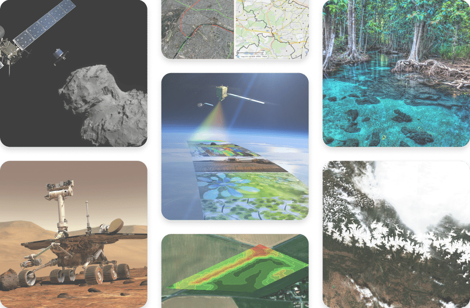
Traitement d’image, cartographie, robotique, intelligence artificielle, géo-intelligence, développement logiciel, nous sommes une entreprise d’ingénierie qui œuvrons dans les domaines les plus généraux comme des plus spécifiques de l’ingénierie.
Optimisez l’efficacité de
votre projet grâce à nos
solutions clés-en-main
Nos solutions sont conçues pour répondre à vos besoins les plus complexes afin de propulser votre projet vers la réussite. Nos solutions peuvent s’appliquer en fonction du besoin, prêtes à l’emploi ou sur-mesure.
Découvrez les nombreux
secteurs d’activité dans
lesquels nous intervenons
Du spatial à la défense, en passant par la sécurité, les transports, l’énergie ou encore l’environnement et le climat, nous sommes présents dans de nombreux secteurs d’activité. Trouvez-vous le vôtre ?
Magellium Artal Group a plus de 26 ans d’expérience en ingénierie de la donnée, imagerie et technologies informatiques. Nous utilisons l’innovation et le savoir-faire pour répondre aux besoins de nos clients, même les plus spécifiques et complexes. Acteur dans notre écosystème, nous prônons des valeurs fortes qui font sens et privilégions des engagements réalisables et des actions concrètes.
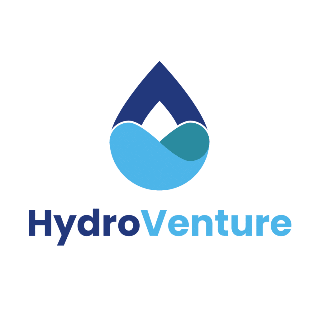
Créé sous l’impulsion de Magellium, CS Group et vorteX-io, le consortium lance HydroVenture, le premier centre d'hydrologie spatiale opérationnelle pour le suivi et la gestion globale de l'eau (soutenant notamment le plan France 2030, le programme européen Destination Earth et contribuant aux services de suivi des ressources en eau et d’alertes précoces de l’ONU).